
On a clear day Seattle is ringed by mountains on three sides: Mount Rainier to the south-east, the Cascade Range along the eastern horizon with Mount Baker far to the north, and the Olympic Mountains across Puget Sound to the west.
The complication is that you cannot see any of them most of the time. Low cloud sits over the city for much of the year, and locals say “the mountain is out” precisely because it usually is not. This guide covers what is actually visible, which specific peaks you are looking at, and where to stand.
Mount Rainier
The one everybody means. Rainier is an active stratovolcano standing 14,410 feet, the highest peak in the Cascade Range and the most heavily glaciated mountain in the contiguous United States.
It sits roughly 60 miles south-south-east of downtown. Because nothing else nearby approaches its scale, it reads as impossibly large and impossibly close — first-time visitors routinely assume it is half an hour away. The drive to the Nisqually Entrance is about 95 road miles and two to two and a half hours. Seeing it and reaching it are different propositions.
Rainier generates its own weather, which is why it can be hidden on an otherwise cloudless day. Watch for the lens-shaped lenticular cloud that forms over the summit — locals read it as a reliable sign of an incoming system.
Also read: Can you see Mount Rainier from Seattle?
The Cascades and Mount Baker
The eastern skyline is the Cascade Range. One correction first: there is no “Snoqualmie Range” — that name appears in some guides and is not a real geographic feature. What you are looking at are the Central Cascades, around and north of Snoqualmie Pass.
The nearer, lower summits are the ones you can actually pick out from the city:
- Mount Si (4,167 ft), the broad bulk above North Bend, and the most recognisable foothill on the eastern horizon
- Mount Index and Mount Pilchuck, further north-east, jagged and often snow-streaked into early summer
- Three Fingers, a distinctive triple summit to the north-east
Mount Baker (10,781 ft) is the glaciated white cone far to the north. It is roughly 85 miles from Seattle — you will see “60 miles” claimed, which is wrong — and because of that distance it needs genuinely exceptional air clarity. When it appears, it floats above the haze with no visible base, which is the giveaway that you are looking at Baker and not a nearer peak.
Glacier Peak (10,541 ft), the other big Cascade volcano in range, is generally not visible from the city — it sits back behind nearer ridges, which is why it is the least known of Washington’s volcanoes despite its size.
The Olympic Mountains
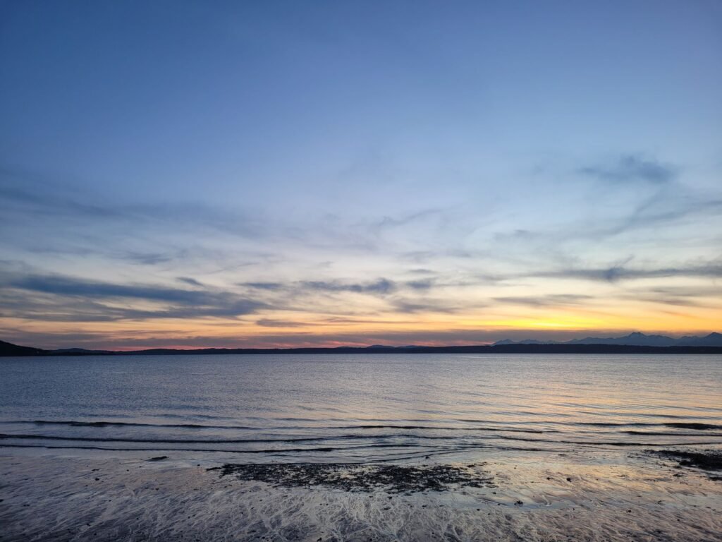
West across Puget Sound, the Olympics form a jagged wall rather than a line of individual cones. They catch the late light, which makes them the better sunset subject.
The peaks you can identify from Seattle:
- The Brothers (6,842 ft) — the twin-summited peak almost due west. The most recognisable shape on the Olympic skyline and the easiest to name with confidence
- Mount Constance (7,756 ft) — the highest peak visible from the city, to the north-west of The Brothers
- Mount Ellinor and Mount Washington — further south, lower, closer to the water
Worth knowing: Mount Olympus (7,980 ft), the range’s highest summit, is not visible from Seattle. It sits deep in the interior, screened by the eastern peaks. What you see from the city is the range’s front wall, not its heart.
Where to Stand
Vantage point matters more than anything else, and the direction you need depends on which mountains you want. One geographic correction: Ballard is in north-west Seattle, not on the east side, so it is a good spot for the Olympics and poor for the Cascades.
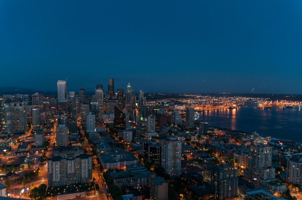
Kerry Park (Queen Anne) — free, faces south-east. The classic shot: downtown in the foreground, Rainier behind it. Small, crowded at sunset, best early on a weekday. No Olympics or Baker from here.
Gas Works Park (Wallingford) — free, elevated, faces south over Lake Union with the downtown skyline and Rainier beyond. The open hill also gives you a decent sweep east toward the Cascades.
Discovery Park (Magnolia) — free, and the best place in the city for the Olympics. The bluff trails look straight west across the Sound; the walk down to West Point Lighthouse puts you at the water.
Golden Gardens (Ballard) — free, at sea level facing west. The Olympics across open water at sunset, and the easiest of these to reach without a car.
Alki Beach (West Seattle) — free, and the only spot that gives you the full skyline and Rainier behind it, looking back north-east across Elliott Bay.
The Space Needle — the one paid option, and the only place to get all three systems in a single 360-degree sweep. Check current admission on the Space Needle’s own site; prices have risen repeatedly and any figure quoted in a guide goes stale fast. Go on a clear morning; the glass makes photography awkward at any hour.
The Bainbridge ferry — 35 minutes from Colman Dock, and arguably the best value of all. Olympics ahead, skyline and Rainier behind. Fares are collected westbound only, so the return leg is free; see the WSF fares page.
When You Will Actually See Them
July through September gives the best odds by a wide margin — long stretches of dry, settled weather. Late September and October often produce the sharpest air of the year.
November through February is the worst for frequency and the best for quality. Most days are overcast. But the clear days that follow a cold front have exceptionally clean, dry air, and that is when Baker appears and when the Olympics look closest. Those days are also the shortest, so act quickly.
Two practical patterns. Morning beats afternoon: cloud tends to build over the mountains through the day, so a clear 8am often becomes a hidden 3pm. And wind direction matters — a northerly or easterly flow clears the air, while still conditions trap haze. Locals check wind as much as cloud cover.
If you have several days in the city, keep the viewpoints as an opportunistic plan rather than a scheduled one. When you wake up and the mountain is out, change your plans and go.
Photography Notes
Rainier works best in early morning light with the sun behind you, when the glaciers hold detail instead of blowing out. The Olympics are an evening subject — the hour before sunset turns the snowfields gold then pink. Midday flattens everything.
A moderate telephoto does more for these shots than a wide angle. The instinct is to go wide and include everything, but that shrinks the mountain to a bump on the horizon; compressing the distance is what conveys the scale you are actually seeing.
Avoid heavy dehaze and saturation. The honest version of a Seattle mountain view has atmosphere in it — that is what tells the viewer the peak is sixty miles away.
Also read: Best hikes near Seattle
Elevations are from USGS and National Park Service figures; distances are straight-line from downtown Seattle. Admission prices and ferry fares are linked to their official sources rather than quoted, because they change. Checked October 2026. Spotted an error? Tell us on the contact page.