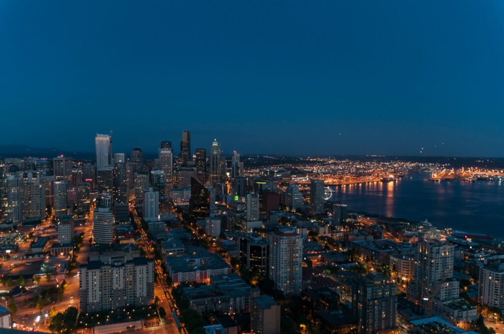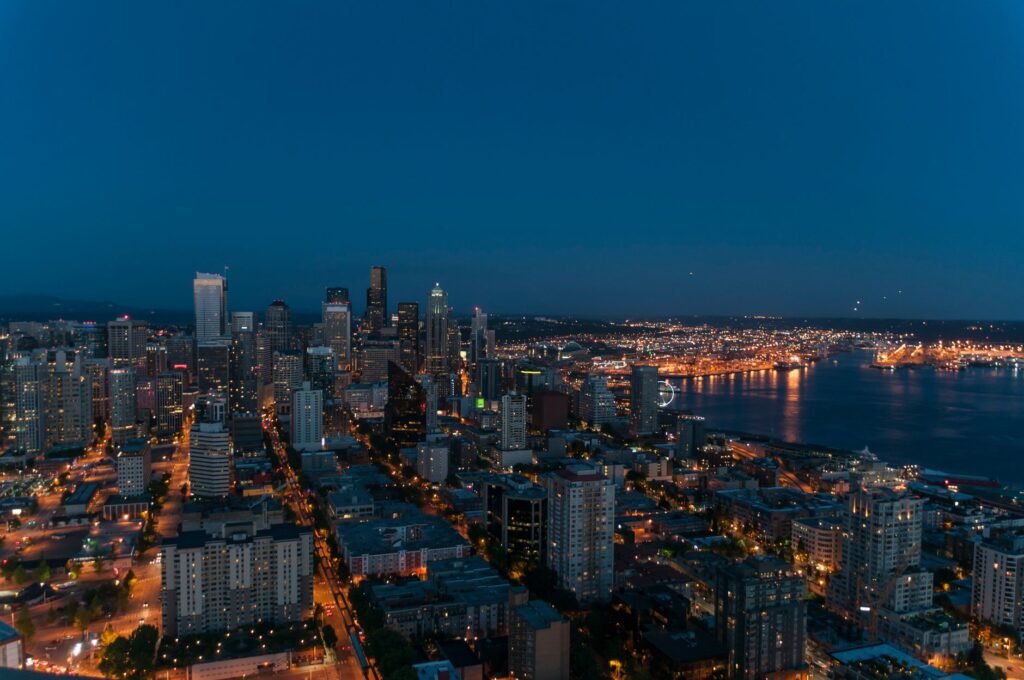
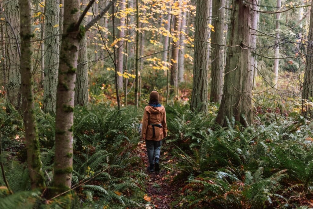
Seattle is unusually good for this: you can reach genuine forest, old-growth trees and open shoreline on a city bus, without renting a car. The walks below are all inside the city and all reachable on public transit.
One thing to be clear about before the list. Rattlesnake Ledge is not an urban hike and it is not in Seattle. It sits by Rattlesnake Lake near North Bend, roughly 35 miles east off I-90 exit 32, and it is a 4-mile round trip with 1,160 feet of climbing that ends on an exposed rock with sheer drops. It is an excellent hike. It needs a car and proper preparation, and it does not belong on a list of city walks.
Discovery Park, Magnolia
The best of them. At 534 acres it is the city’s largest park, sitting on a bluff at the tip of Magnolia with second-growth forest, open meadow and two miles of shoreline.
The Loop Trail runs about 2.8 miles with modest elevation and is well signed throughout. The highlight is the spur down to West Point Lighthouse and the beach — worth doing, but note the descent is steep and you have to climb back out.
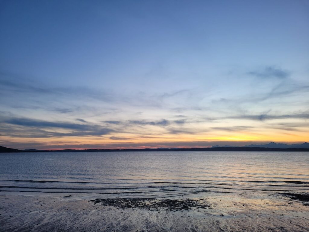
From the bluff on a clear day you look west across Puget Sound to the Olympic Mountains. Under the canopy it runs noticeably cooler than downtown, and the beach end is always windier than the forest.
Getting there: Metro routes 24 and 33 serve Magnolia from downtown. Allow a good hour door to door including the walk in from the park entrance.
One correction worth making: Discovery Park does not connect to the Ballard Locks. The Locks sit across Salmon Bay in Ballard and are a separate trip.
Seward Park, Lake Washington
A peninsula jutting into Lake Washington, and the quiet star of this list. The paved perimeter loop is about 2.4 miles and almost entirely flat, with shoreline the whole way.
What makes it special is inland: Seward Park holds one of the last stands of old-growth forest left in the city — Douglas firs several hundred years old, on unpaved interior trails off the main loop.
There is a swimming beach at the north end. Lake Washington is warmer than Puget Sound and genuinely swimmable in late summer.
Getting there: Metro route 50 from downtown drops you near the entrance. Roughly 30 to 40 minutes.
Green Lake
The easy one. The inner loop around the lake is about 2.8 miles, fully paved and flat, busy from dawn with runners, walkers and prams.
It is not a wilderness walk and does not pretend to be. It is a good morning hour before heading into the city, with cafes ringing the park.
Getting there: Metro route 62 or the E Line plus a short walk. Green Lake is its own neighbourhood, immediately north of Wallingford.
Washington Park Arboretum
230 acres of collected trees running down to Union Bay, with the Arboretum Waterfront Trail continuing out onto Foster Island on floating boardwalks through the marsh.
The waterfront section is the interesting part — you are walking on water, through reeds, with herons about, ten minutes from Capitol Hill. Combine it with the Japanese Garden at the south end if it is open.
Getting there: buses to Montlake, or walk from Capitol Hill in around 25 minutes.
Carkeek Park, North Seattle
Less visited than Discovery and in some ways better for a forest walk. Trails drop through a wooded ravine along Piper’s Creek to a beach on Puget Sound, crossing the railway on a footbridge.
In late autumn salmon return to spawn in the creek, which is a genuine thing to see within the city limits.
Getting there: Metro route 40 plus a walk, or the E Line and a longer one.
Schmitz Preserve Park, West Seattle
A small pocket of old-growth forest that was never logged — some trees are over 800 years old. The trails total only about 1.7 miles, but it is the closest thing in Seattle to walking in a primeval forest, and it is minutes from Alki Beach.
Getting there: the water taxi from Pier 50 to Seacrest, then Metro route 775 or 50. This makes a good half day with Alki.
Interlaken Park, Capitol Hill
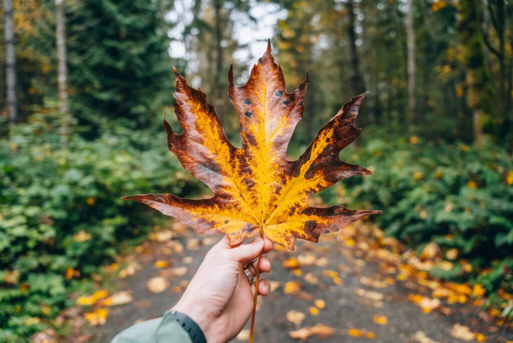
A narrow wooded ravine with a disused road running through it, right on the edge of Capitol Hill. Big-leaf maples, ferns, and city noise falling away within minutes. About a mile and a half, and reachable on foot from most of Capitol Hill.
Good for an hour when the weather is poor and you do not want to commit to a bus ride.
What to Bring
These are city walks, not mountain hikes, but Seattle weather still deserves respect.
- A waterproof jacket, regardless of the forecast
- Shoes with grip — unpaved sections get slick and muddy from October through May
- A layer; it runs noticeably cooler under the canopy and on the shoreline
- Water, and a snack if you are out more than two hours
- A head torch in winter. It is dark by 4:30pm in December and the wooded trails go dark sooner
- An ORCA card for the buses, tapped on and off
Download offline maps. Mobile signal drops in the ravines at Discovery, Carkeek and Interlaken.
And if you drive to any trailhead rather than taking the bus, leave nothing visible in the car. Trailhead break-ins are common across the region.
Also read: Short hikes near Seattle for the ones that do need a car.
Picking One
- Best overall: Discovery Park, for the variety and the view
- Best forest: Seward Park or Schmitz Preserve, for the old growth
- Easiest: Green Lake
- Most unusual: the Arboretum’s floating boardwalks
- Best in bad weather: Interlaken, because you can bail out into a cafe in five minutes
Trail lengths and park details checked against Seattle Parks and Washington Trails Association listings in October 2026; Rattlesnake Ledge figures are from WTA. Bus routes change — check Metro before travelling. Spotted an error? Tell us via the contact page.