Twin Falls, Idaho to Seattle is roughly 630 miles and takes about 10 hours of driving. It is a long day — doable in one push if you start early, more comfortable split across two.
Several route guides understate this badly. Twin Falls to Boise alone is 128 miles, and Boise to Seattle is a further 500. Any figure under 600 miles for this trip is wrong.
The Route
There is one sensible corridor and it runs west, not north.
Leg one: Twin Falls to Pendleton, Oregon. Take I-84 west out of Twin Falls. It carries you through Boise (128 miles), across the Snake River into Oregon at Ontario, then over the Blue Mountains through Baker City and La Grande to Pendleton. That is roughly 340 miles.
Leg two, the Yakima route (faster): at Pendleton pick up I-82 northwest to the Tri-Cities, continue through Yakima to Ellensburg, then I-90 west over Snoqualmie Pass into Seattle. About 290 miles.
Leg two, the Portland route (alternative): stay on I-84 through the Columbia River Gorge to Portland, then I-5 north to Seattle. Similar total mileage, usually slower because of Portland and Tacoma traffic, but far more scenic along the Gorge.
Note that I-90 and I-84 do not meet anywhere near the Idaho-Oregon border. I-90 crosses the far north of Idaho through Coeur d’Alene, hundreds of miles from this route. You join I-90 at Ellensburg, Washington, close to the end of the trip.
Timing
At highway speeds the pure driving is about nine and a half hours. With fuel, food and breaks, plan on eleven.
Leaving Twin Falls at 6am puts you in Seattle around 5pm, which means arriving in the evening commute. Leaving at 5am gets you in ahead of it.
If you are splitting the drive, Pendleton or the Tri-Cities are the natural overnight stops — both are close to the halfway mark with plenty of motels.
Snoqualmie Pass
The one piece of the drive that needs attention. The pass summit sits at just over 3,000 feet on I-90, about 50 miles east of Seattle.
In summer it is an easy climb. From November through March it can require traction tyres or chains, and closures for avalanche control or collisions do happen. Check WSDOT’s mountain pass report before you set out in winter — it updates continuously, and a closure here can add hours.
The Blue Mountains between Baker City and La Grande also get snow and are worth checking in winter.
Worthwhile Stops on the Way
These are actually on the route, which matters — the drive passes through some genuinely good country and some very long empty stretches.
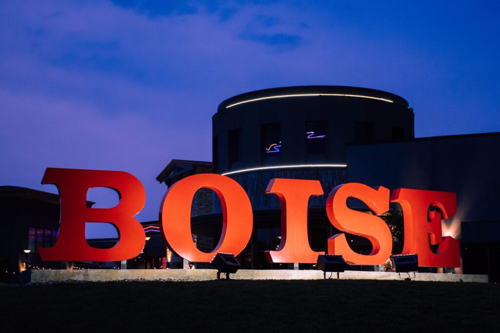
Boise (128 miles in) — the obvious first break. Good coffee, a walkable downtown, and the Boise River greenbelt if you want to stretch properly.
Baker City, Oregon — a well-preserved old mining town just off I-84, with the National Historic Oregon Trail Interpretive Center nearby. The best stop on the Oregon stretch.
Pendleton — the natural halfway point, known for the woollen mills and the September round-up.
The Columbia Gorge, if you take the Portland route — genuinely spectacular, and the reason to choose that option despite the traffic.
Yakima Valley, if you take the I-82 route — wine country, and a reasonable place to break for lunch.
A note on Crater Lake: it is sometimes suggested as a detour on this drive. It is not one. Crater Lake is in southwest Oregon, several hundred miles off this route, and visiting it would add the better part of two days. It is a destination in its own right, not a stop between Twin Falls and Seattle.
Other Ways to Travel
Flying. Magic Valley Regional Airport in Twin Falls is small and connects mainly through Salt Lake City, so you would be flying south-east before heading north-west. With connections and airport time it rarely beats driving, and it costs more.
Rail. There is none. Amtrak has not served southern Idaho since the Pioneer route ended in 1997, and Boise has no passenger rail either. Any guide suggesting you drive to Boise and catch a train north is wrong.
Bus. Long-distance services run the corridor, typically with a change, and take considerably longer than driving.
For this distance, driving is the practical option.
Costs
Fuel is the main expense. At 630 miles and 30 miles per gallon, that is about 21 gallons each way — budget accordingly at current pump prices, which vary quite a bit between Idaho, Oregon and Washington.
There are no tolls on this route. If you split the drive, add a night’s motel in Pendleton or the Tri-Cities.
One quirk worth knowing: Oregon has no sales tax, so it is the cheapest place on the route to buy anything substantial.
Arriving in Seattle
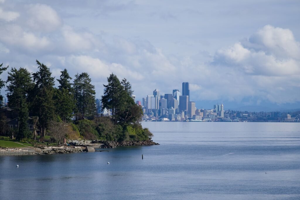
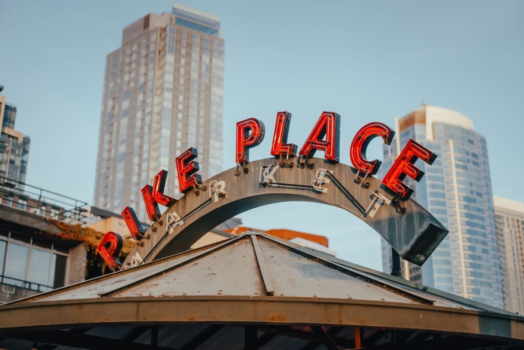
Coming in on I-90 you cross Lake Washington on the floating bridge with the skyline ahead — a good arrival. Traffic thickens from Issaquah onward and the I-90/I-5 interchange is busy at almost any hour.
Know your destination before you reach Bellevue. Downtown parking is expensive; Ballard, Fremont, Wallingford and Capitol Hill are easier and cheaper to park in.
Leave nothing visible in the car once parked. Vehicle prowl is the most common property crime in the city.
Also read: Where to stay in Seattle
Distances were checked against mapping data in October 2026; the Boise leg is confirmed at 128 miles. Pass conditions change constantly in winter — check WSDOT before travelling. Spotted an error? Tell us via the contact page.