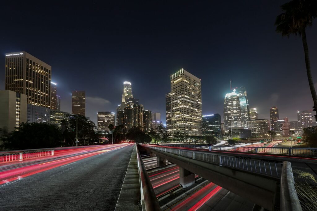
The drive from Seattle to Los Angeles is roughly 1,135 miles and takes about 17 to 18 hours of pure driving, almost entirely on Interstate 5. Most people split it over two days, and with stops, traffic, and a night’s sleep it is a two-day trip.
I-5 is the only practical route. It runs the full length of the West Coast corridor, from Washington through Oregon and across California’s Central Valley, ending in the Los Angeles basin.
The Route in Sections
- Seattle to Portland, about 175 miles (roughly 3 hours): I-5 south through Tacoma and Olympia, then across the Columbia River into Oregon. Traffic around Tacoma and the I-5 bridge into Portland is the main slowdown.
- Portland to the California border, about 300 miles (roughly 4.5 hours): through the Willamette Valley (Salem, Eugene), then over the Siskiyou Mountains near Ashland and into California.
- Oregon border to Sacramento, about 290 miles (roughly 4.5 hours): past Mount Shasta, through Redding, and down the northern Sacramento Valley.
- Sacramento to Los Angeles, about 385 miles (roughly 6 hours): south through the Central Valley, over the Tejon Pass (the Grapevine) near Gorman, and into the Los Angeles basin.
These are approximate segment lengths. Use a current mapping app for your exact start and end points and live traffic.
One Day or Two?
Driving it in a day is possible, but it means 17 or more hours behind the wheel plus stops, and it is tiring and less safe. Splitting the drive is the better plan.
A common split is to stop for the night around Redding, Red Bluff, or Sacramento, which puts roughly 10 hours of driving on day one and 6 to 8 hours on day two. Redding is a convenient halfway-ish point with plenty of motels and restaurants. Sacramento gives you a larger city and more food options, though traffic is heavy at rush hour.
Traffic and Timing
The worst slowdowns are the bridge and urban sections around Portland, Sacramento, and especially the Los Angeles area, where the evening rush hour can add an hour or more. Try to reach Los Angeles outside of the weekday morning and afternoon rush.
The Tejon Pass (the Grapevine) can close in winter storms for snow or ice, and it sometimes sees heavy truck traffic. In winter, also check conditions for the Siskiyou Pass near the California-Oregon border. Check Caltrans (QuickMap), Oregon’s TripCheck, and WSDOT before you go.
Alternatives to I-5
US Route 101 and California’s Highway 1 follow the coast and are far more scenic, but they add many hours and are slower. A coastal trip is a vacation in its own right rather than a shortcut. Our Seattle to California road trip guide covers longer routes and stops.
Preparing the Car
- Check oil, tires (including pressure and tread), coolant, wipers, and brakes.
- Carry water, snacks, and a phone charger. Cell service is patchy in some rural stretches of northern California and southern Oregon.
- Fill up before long gaps between towns, and expect higher fuel prices in California than in Washington or Oregon.
- Carry chains in winter if you are crossing the Siskiyous or the Tejon Pass.
Frequently Asked Questions
How long is the drive?
The distance is roughly 1,100 to 1,150 miles, about 17 to 19 hours of driving.
Where should I stop overnight?
Portland, Eugene, Medford, and Redding are common stops.
What is the worst traffic?
Seattle, Portland, Sacramento, and the Los Angeles area, especially during commute hours.
Costs
Fuel is the main expense. As a rough guide, divide the trip distance by your car’s miles per gallon and multiply by current pump prices, remembering that California is usually the most expensive. Lodging, tolls (there are none on this route), and food add to the total. Check current prices before you plan a budget.